Access
| Finding the venue: Lyddington, 1½ miles south of Uppingham, lies to the east of the A6003 road from Kettering to Oakham. Its Main Street runs north-south. Church Lane* is marked by a small mediaeval watch tower* on the corner, a hundred yards south of the village green*, and leads to the church. A torch can be helpful. Please click here for a Google map. The post code for the car park at the Old White Hart for satnavs is LE15 9LR. |
| Where to park: Please see our where to park page and map here. There is a huge free car park in the field behind the Old White Hart* (c 3 mins walk) and limited on-road parking in Main Street; please do not block driveways or obstruct through traffic. Parking in Church Lane is reserved for blue badge holders only. |
| Google Streetview images: Note: the Google 'street view' images of the village identified by (*) above enable you to navigate (and view) your way round the village (at street-level) by clicking on the navigation direction arrows which appear on-screen when your mouse is moved. |
 |
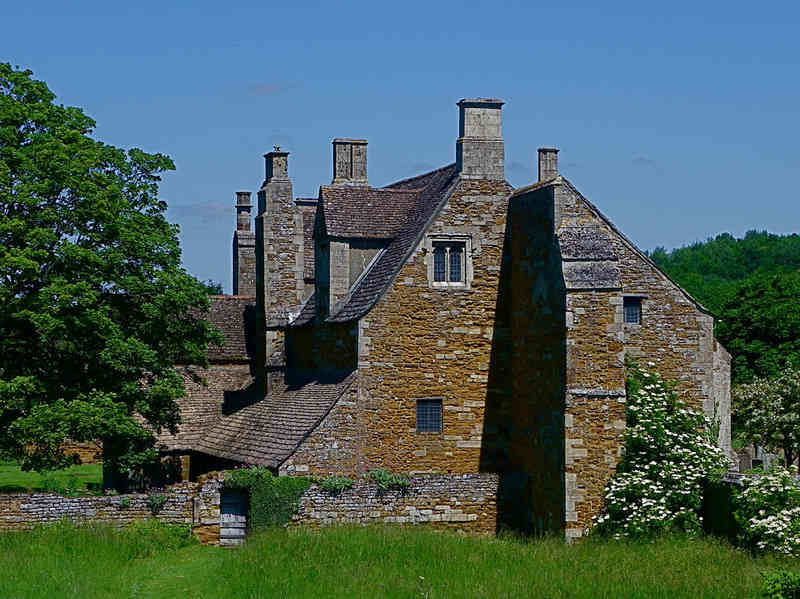
| The Bede House as seen from its meadow, ie from the West. |
